
West Des Moines Neighbor Sources
A block search combines municipal geography with county ownership records. West Des Moines spans Polk, Dallas, Warren, and Madison counties, so two nearby places may not share the same assessor route. First establish the exact parcel and county. Then use each source only for the fact it publishes.
| Block source | What it reveals nearby | Access channel |
|---|---|---|
| WDMaps and city GIS | Parcel shapes, streets, zoning, projects, flood, ward and precinct context | Public city map hub |
| County assessment roll | Record owner, situs, mailing field, parcel and legal description | County portal or assessor office |
| Recorder index | Named parties and instruments tied to nearby parcels | Iowa Land Records, county index or office |
| Election geography | Ward, precinct and polling context | City map and county auditor |
| Historical street guide | Past names or uses at numbered addresses | Library, archive or historical society |
A tax-roll owner can live elsewhere, and an owner may be an entity or trust. A mailing field can point to an office, agent, or separate home. Current occupants, family ties, phone numbers, delivery data, and utility accounts are not established by a parcel card. Keep those limits visible throughout the search.
Four-County West Des Moines Neighbor Blocks
The city's property-tax information identifies six school districts and nine tax-rate combinations across its four counties. That unusual arrangement makes a West Des Moines mailing label a weak jurisdiction clue. WDMaps is the municipal starting point, while the county assessor controls the current parcel and tax record. County recorders in Des Moines, Adel, Indianola, and Winterset hold the corresponding recorded land instruments.
Use the city boundary and parcel polygon before opening an assessor. If the block sits near an edge, save the county beside each parcel number instead of assuming that the entire screen belongs to one office. A ward or precinct layer describes election geography. It does not set recorder jurisdiction. Likewise, a postal city or ZIP code may cross a civic line.
Key distinction. The situs is the property's physical location; the mailing address is where tax correspondence goes. They can be different places.
Map West Des Moines Neighbors
The West Des Moines Maps and GIS hub links municipal street, parcel, utility, zoning, land-use, project, flood, ward, precinct, park, trail, and crime layers. It supplies context, not a certified deed. Research did not confirm a dedicated radius or adjacency button in the live map, so the dependable method is to select the known address and click each visible adjoining parcel.
- Normalize the house number, direction, street name, suffix, and unit with the official city street list.
- Locate the address in WDMaps. Record the municipal location, parcel shape, street frontage, and county clue.
- Open the correct county assessor and copy the parcel ID, situs, owner, mailing field, and legal description for the starting lot.
- Return to the map and click the parcels sharing a line, rear line, or corner with it. Repeat the assessor check for each one.
- Use the recorder index only when the ownership trail matters. Label grantor and grantee as deed parties rather than presumed occupants.
The full named-road workflow belongs in the West Des Moines street directory. A neighbor search stays focused on the immediate block or visible ring around one parcel.
West Des Moines Neighbor Parcel Offices
Each county presents a different public access surface. Polk accepts property address, owner first and last name, legal plat, district or parcel, condition operator, and value. Its address search supports partial names, number ranges, wildcards, directionals, and unit labels. Dallas and Warren route to Beacon, though the inspected live pages did not expose stable field-level controls. Madison's assessor site presents sales, building, residential, commercial, agricultural, sketch, photo, property-card, and GIS categories.
Polk County
Assessor search
111 Court Ave., Room 195
Des Moines, IA
515-286-3014
Dallas County
Beacon parcel search
800 Court, Room 120
Adel, IA
515-993-5802
Warren County
Beacon and GIS
301 N. Buxton, Suite 101
Indianola, IA
515-690-9170
Madison County
Assessor search
201 W. Court Ave.
Winterset, IA
515-462-4303
When a dynamic portal fails, call or visit the named assessor rather than treating the blank page as a blank block. The county remains required metadata for every owner result.
The Madison search landing page shows the county property system used for the city's outer reaches. Visit the Madison assessor source before using it.
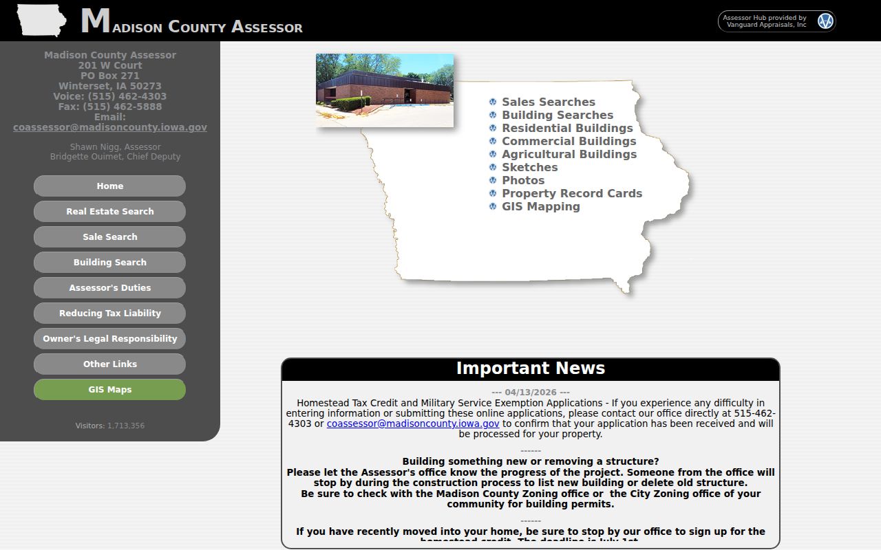
The screen helps route a parcel check, while the site's unconfirmed exact input schema should remain an explicit research gap.
Owners Versus West Des Moines Neighbors
A parcel result is strong evidence of the name carried on the current assessment roll. It is not direct proof of occupancy. Compare situs and mailing fields, and record any homestead indicator only as the county presents it. Even matching addresses do not identify every person in a household. A trust, estate, company, or absent owner may also appear.
- Parcel
- A county's mapped and numbered unit of land for assessment and record reference.
- Situs address
- The physical location assigned to the parcel.
- Mailing address
- The destination for tax correspondence, which can differ from the situs.
- Legal description
- The lot, block, plat, or survey language that ties land to recorded instruments.
For deed context, carry the legal description and owner name to Iowa Land Records. A grantee is the party receiving an interest in a recorded instrument; that role still does not establish a full household.
West Des Moines Neighbor Geography
West Des Moines has three wards and 29 precincts. The city's voter information and official map place an address in election geography. Individual voter verification, however, requires first name, last name, ZIP, house number, date of birth, and CAPTCHA through the Secretary of State tool. It is designed for the person checking their own status and polling information, not for browsing everyone on a block.
State voter-list requests are a separate procedure. They require requester details, intended use, signature, a selected jurisdiction and profile, and compliance with Iowa Code sections 48A.38 and 48A.39. Restricted identifiers are excluded and commercial use is prohibited. Do not convert election data into a public neighbor roster. A precinct line can still help connect an address to its county auditor and current election map.
West Des Moines Neighbor Connections
Community sources identify public participation, not private household membership. The city agendas and minutes archive records meeting dates, boards, approved minutes, public projects, applicants, and named speakers when included in an official document. The city staff directory names public employees and their work contacts. Boards and commissions list appointed civic roles.
| Community source | Safe block use |
|---|---|
| Agendas and minutes | Trace a public street, zoning, park, or development matter |
| Boards and commissions | Identify an official appointed role |
| Development Services | Find permit, inspection, zoning, address, or project contacts |
| Historical Society | Connect a public site or old address to local photographs and files |
No general city-maintained HOA household directory was established in the research. Private association rosters may be limited to members. Ask an association directly about public meeting or contact information, and never imply that membership proves who occupies a home.
Valley Junction Block History
Historic blocks require older names. Valley Junction became West Des Moines around 1937 and 1938, so a person, shop, or address can appear under either place label. Fifth Street is the commercial spine of local history sources. The city's building-history pages connect current assessor facts with old businesses, photographs, newspaper mentions, and changes after the 1993 flood.
The documented history of 318 Fifth Street includes commercial occupants and dated images, plus the demolition of a flood-related masonry addition. That kind of record can explain why an older directory entry differs from today's parcel view. It should not be used to claim that a past shopkeeper or named occupant remains at the site. For older blocks, compare the legal description, directory street guide, newspaper date, and present parcel.
No authoritative citywide renumbering crosswalk was found. Preserve both spellings and both place names, and state when an address match is still unresolved.
West Des Moines Block Context
The city interactive GIS page links to a public crime-mapping layer. It is an incident context source, not a people list. Search the map around an address only to understand reported events and the date range offered by the agency feed. Do not infer that a nearby owner, occupant, or passerby caused an event.
Review the street-level public safety map with its own filters and source notices.
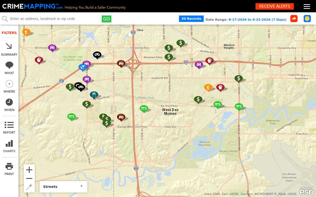
The mapped point belongs in a dated context note, separate from assessor names and parcel ownership.
Official West Des Moines Neighbor Records
Official sources and commercial neighbor tools answer different questions. County and city systems expose a defined record, keeper, date, role, and correction route. Commercial compilations may merge old addresses, relatives, phones, and names without showing how or when each claim arose. That makes them poor evidence for the immediate block.
| Choice | Strength | Main limit |
|---|---|---|
| City and county records | Known custodian, public role and direct correction path | Separate searches and county routing are required |
| Commercial compilation | May offer a quick name lead | Source date, role, accuracy and removal may be unclear |
| Library or archive | Dated street and household history | Historical coverage does not prove current occupancy |
Prefer the official roll for an ownership statement and the original historic image for an old directory statement. Record uncertainty when a portal fails or coverage is unknown. Never fill a gap with an inferred household relationship.
West Des Moines Neighbor Privacy
Iowa public-record law does not open every fact about a block. Utility accounts, delivery information, personal identifiers, protected victim data, confidential court files, and restricted vital records remain outside an ordinary neighbor search. Safe at Home and Protect Our Protectors provide substitute-address protections for eligible people, though real-estate records have distinct rules.
Use the record only for its lawful purpose. If an owner field is wrong, send the source URL, parcel, disputed field, and evidence to the assessor that maintains it. If the goal is simply to meet your neighbors, a respectful introduction or public community event provides clearer consent than compiling personal details.
Lawful use. West Des Moines neighbor records may support property curiosity, block history, or personal safety. Never use them to watch, stalk, harass, intimidate, or harm anyone.